Trek to Chandranahan Lake and Buran Ghati Pass
“May your dreams be larger than mountains, and may you have the courage to scale their summits. “
– Harley King
Trekking is perhaps the only activity that gives you a glimpse of a world full of surprises. An adventure sport is as good for your soul as it is for the body. The trails that pass through the different sections of some regions are mostly beautiful, but some parts grudgingly admit the imperfections. However, the shepherd trail of Chandranahan Lake and Buran Ghati Pass trek is hard to spot a moment where you are disappointed. It seems as if the best parts of the Himalayan treks entwine to make them a perfect trail. The experience is hard to define in words, barely in terms of memories and leisure time.
The purpose of visiting Himachal Pradesh was for the expedition engulfed by thrill, adventure and mystery. A few days break at Shimla with refreshing local sights recharged me for the new challenge. I solicited to explore the offbeat expedition with Hike in Himalaya. The routine arrangement for the route with a well-known guide to take you through the trail will make it memorable. The alpine zones have vast meadows, a high altitude lake and finally, one of the difficult passes in India. The emotions on the trail enlightened me about the absolute mystery of the mountains and weather. So less to talk about trekking, I try my best to explain the magic makes it a whole different adventure.
About the Trek
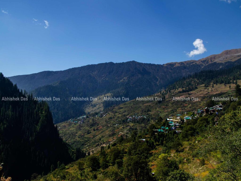
Chandranahan, an alpine lake flanked by high snow peaks, is a holy place for local people. It is at an altitude of around 14,000 feet in the Pabbar valley region of Himachal Pradesh. The lake is the source of the Pabbar River which later merges with the Yamuna. The expedition starts from the ancient village and bursts into the Dayara meadows on the southeastern slopes of the Himalayas. The track to the lake feels like magic, almost being part of a delightfully deep forest, which further leads to the Buran Ghati Pass. The trek is about 42kms from the snout, but every step is like an expedition as it is an arduous route.
Trek type: Moderate to Difficult
Duration: 7 days (with a buffer day)
Winding in the Trails of Chandranahan Lake and Buran Ghati Pass
The beauty of the Himalayas had already enchanted me, and the mountains reminded me of the expedition that engrossed me to Himachal Pradesh. The big day was here- a cab was waiting for me at Shimla with my other teammates for the trek. We left early in the morning for our Base Camp at Janglik village. The road was smooth till Rohru, but soon we were on the dirt road. The apple orchids cover the entire valley, and we learned a lot from our driver.
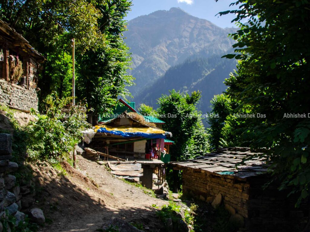
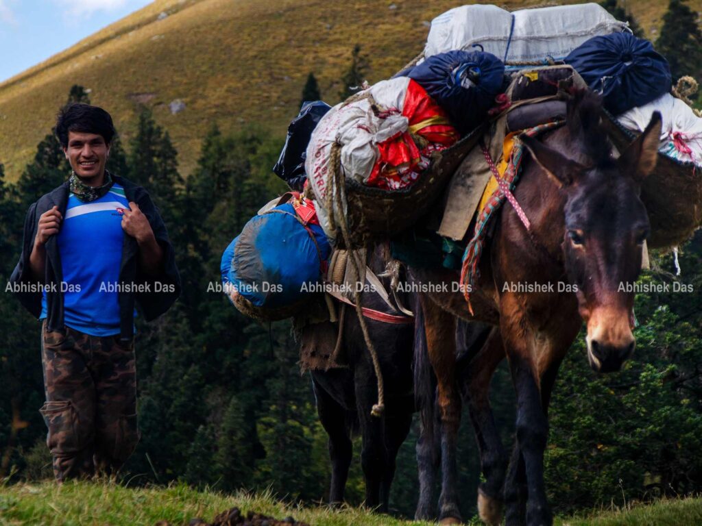
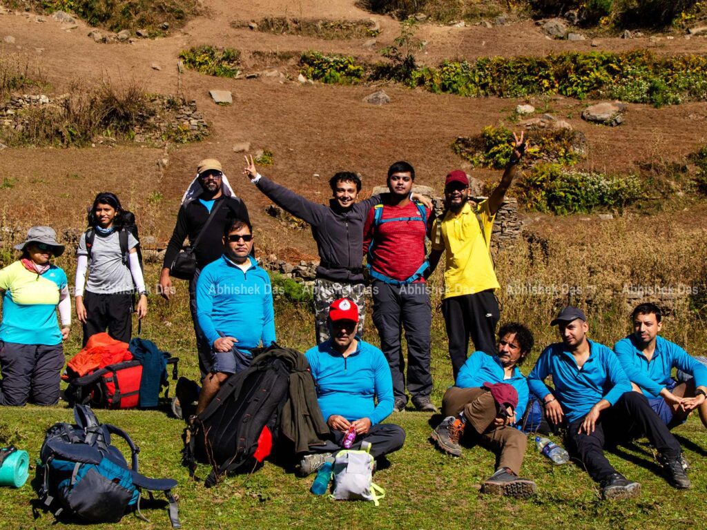
We reached the quaint village, inhabitant of the shepherds that boasts carpeted wildflowers, alpine forests and verdant grasslands. A lesser traversed trail for the adventurers to walk over high passes through Pabbar valley, frequently visited by local shepherds. Our team had 14 members guided by Hike in Himalaya and its associates.
Distance: 120km from Shimla to Jhanklik Village
Time: 8 hours
Day 01: Buffer Day at Janglik village
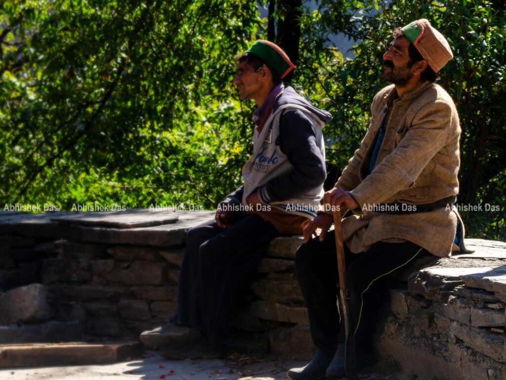
The first day at Janglik village started with the glimpse of a beautiful sunrise, gradually covering the glares around the valley. Our teammates decided to take a buffer day before the expedition. So far, the journey was rough on the dirt road, reasonable to take a break at the village reminiscent of old, untouched by prelation. We utilised the day to bond among ourselves, sharing our previous trekking experiences.
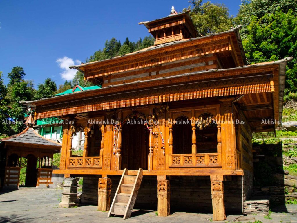
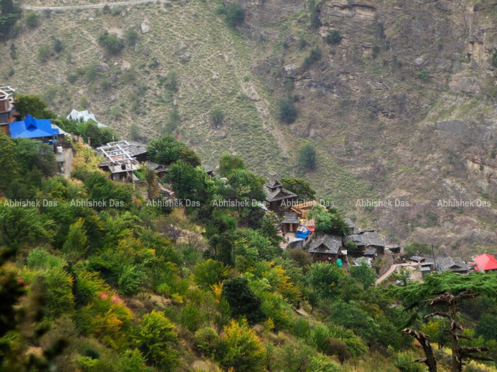
We went through a narrow trail to glimpse an ancient temple, greeting locals with Namaste and trying a few fresh apples from their orchard. The beautiful huts with stone roofs surrounded by the backdrop of great Himalayan mountains make the entire place the fable. Shortly, we returned to the beautiful homestay for lunch and spent the remaining quality time walking around the village.
Altitude: 9,400 feet
Day 02: Janglik Village to Dayara Thatch
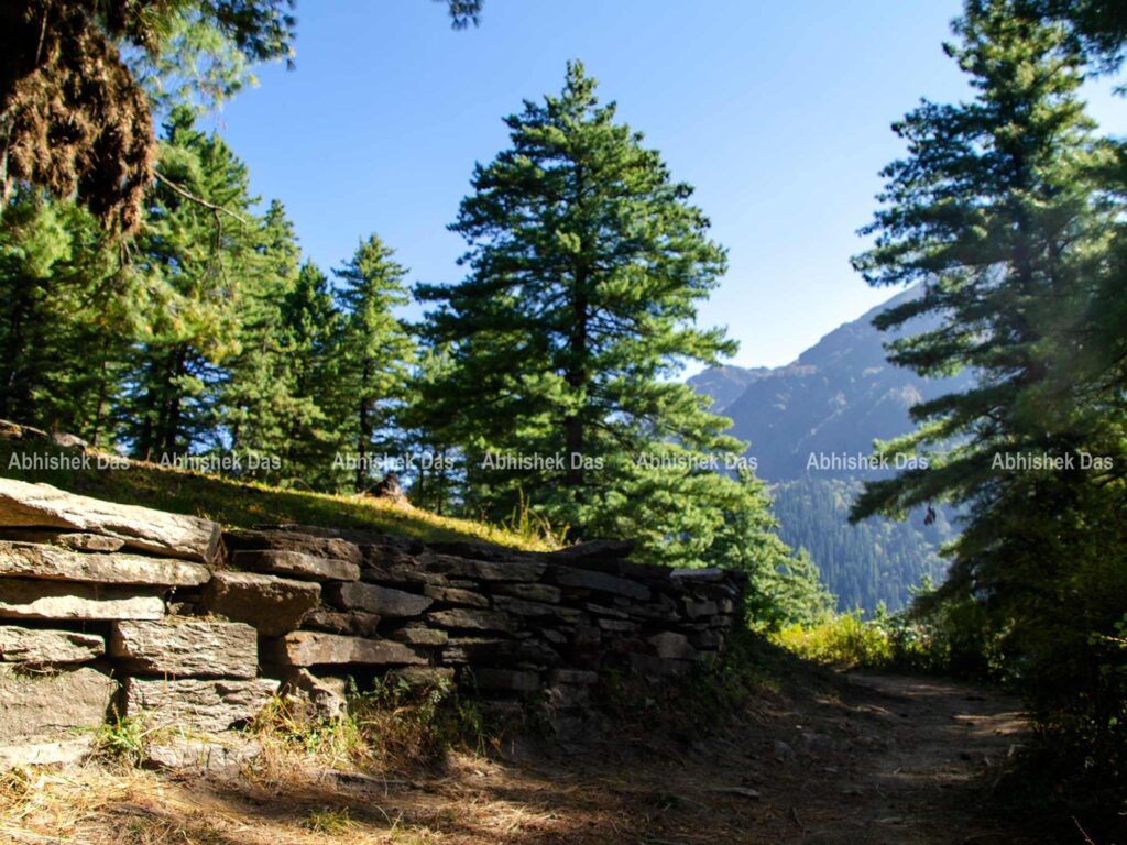
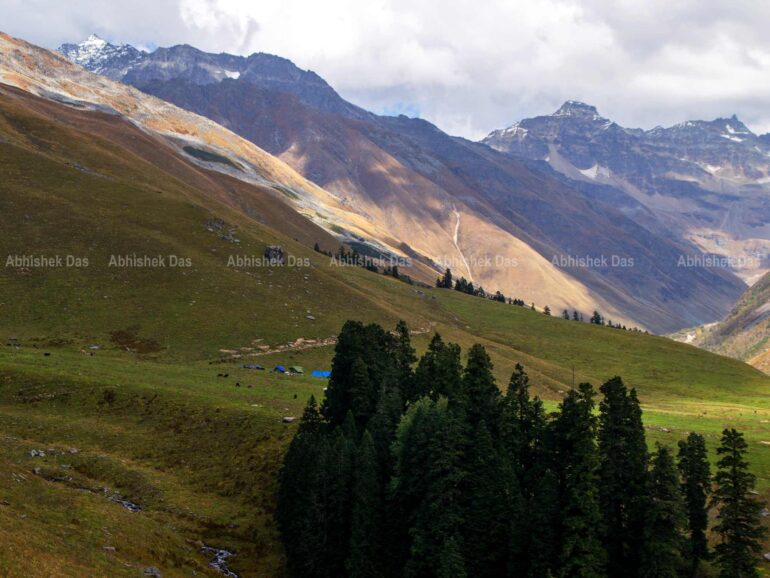
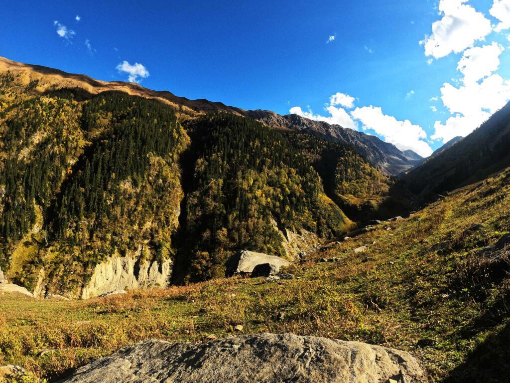
The whistle of our team leader indicated for us to be prepared and pack our belongings. We assembled in a circle introducing ourselves with a positive note of team leader. The most magnificent trail came alive by seducing eyes with wonders building our dreams. One can notice- the rapidly changing scenery after leaving the village as the trail climbs into an oak and pine forest. The walk into the dark, moist earth with a brown carpet of leaves takes time to soak the moment.
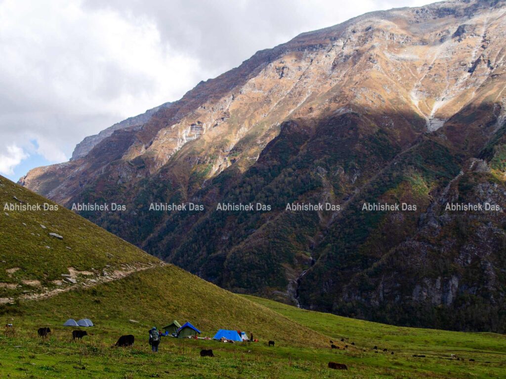
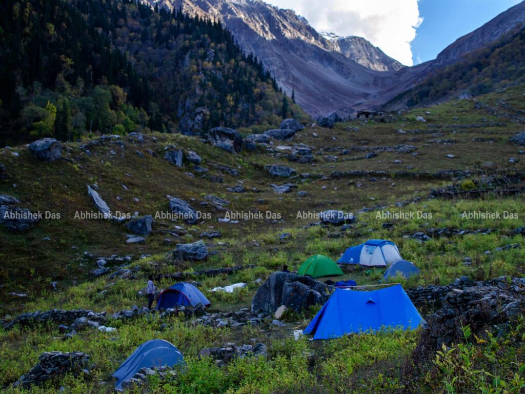
Almost an hour later, the view of the climbing meadows and the dark shadowy tree line of the pines descends gradually with a pure blend of picturesque snow-capped mountains opposite the Pabbar valley complementing the view. We reached our tents to keep our rucksacks and roll around the beautiful Dayara Thatch.
Time: 5 hours
Altitude: 11,100 ft
Distance: 6 km
Trek type: Moderate
Day 03: Dayara Thatch to Litham
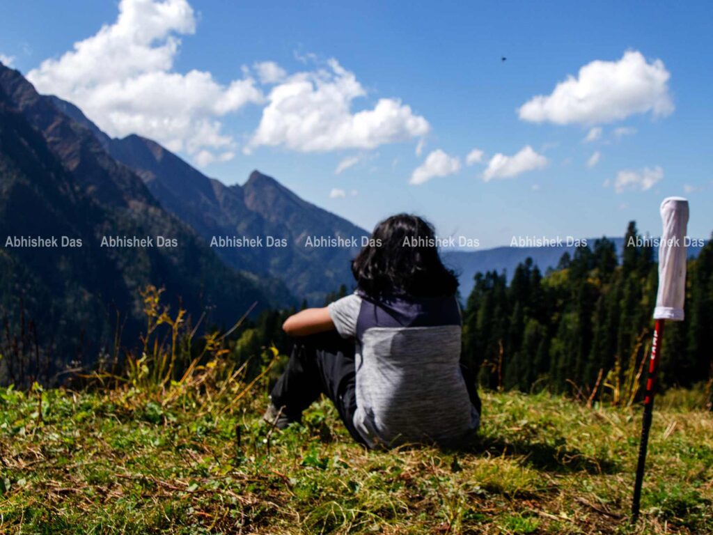
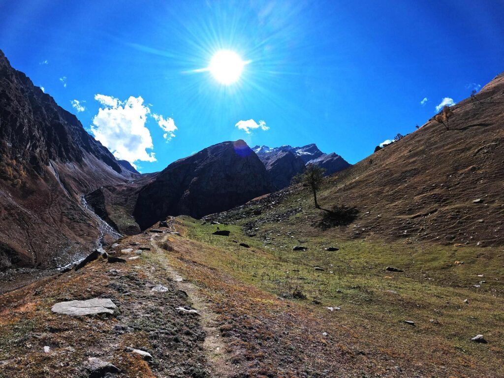
A beautiful night with endless glittering stars was a wonderful feeling of the magic of being so calm and peaceful. Slowly, I moved inside my shelter and pulled up my sleeping bag to take a rest. Soon it was morning though the sun was yet to rise in the meadows. I moved out to witness the glamour as it soaks up the golden glow of the morning sun. After having breakfast as a great saviour, we gently ascended the trail, entering another clump of pine forest.
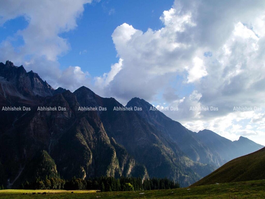
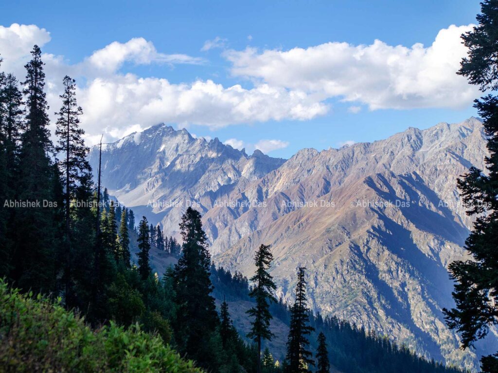
Across leaping the stream, we moved out of the pine forest and passed a curve to regain the sight of the snow-capped mountains of the Dhauladhar range and Gunas Pass. The scenery of the grasslands leading down from the trail folded to the first clear view of Litham. The trail dips to cross Chandranahan Lake stream before reaching the campsite worthwhile to settle down for the days.
Time: 4 hours
Altitude: 11,800 ft
Distance: 5 km
Trek type: Easy
Day 04: Excursion to Chandranahan Lake
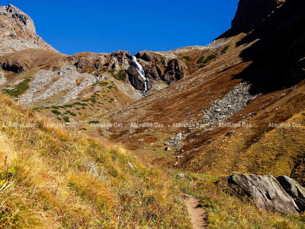
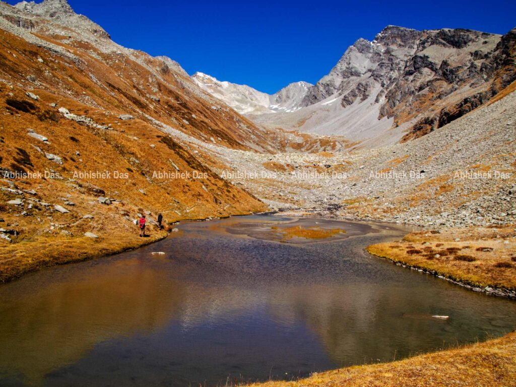
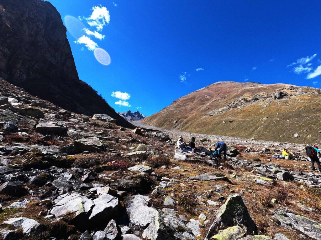
My heart was fluttering in anticipation of the great adventure of trekking to the lake and feel like being part of a big climbing expedition. Hike in Himalaya had already arranged breakfast before leaving the campsite. Chandranahan lake is a glacier tarn deep inside the alpine valley surrounded by snow flanked mountains. We continued upstream on a shepherd’s trail marked by stone cairns from where the stream emerges.
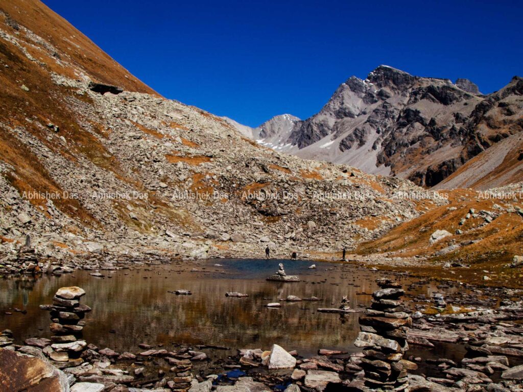
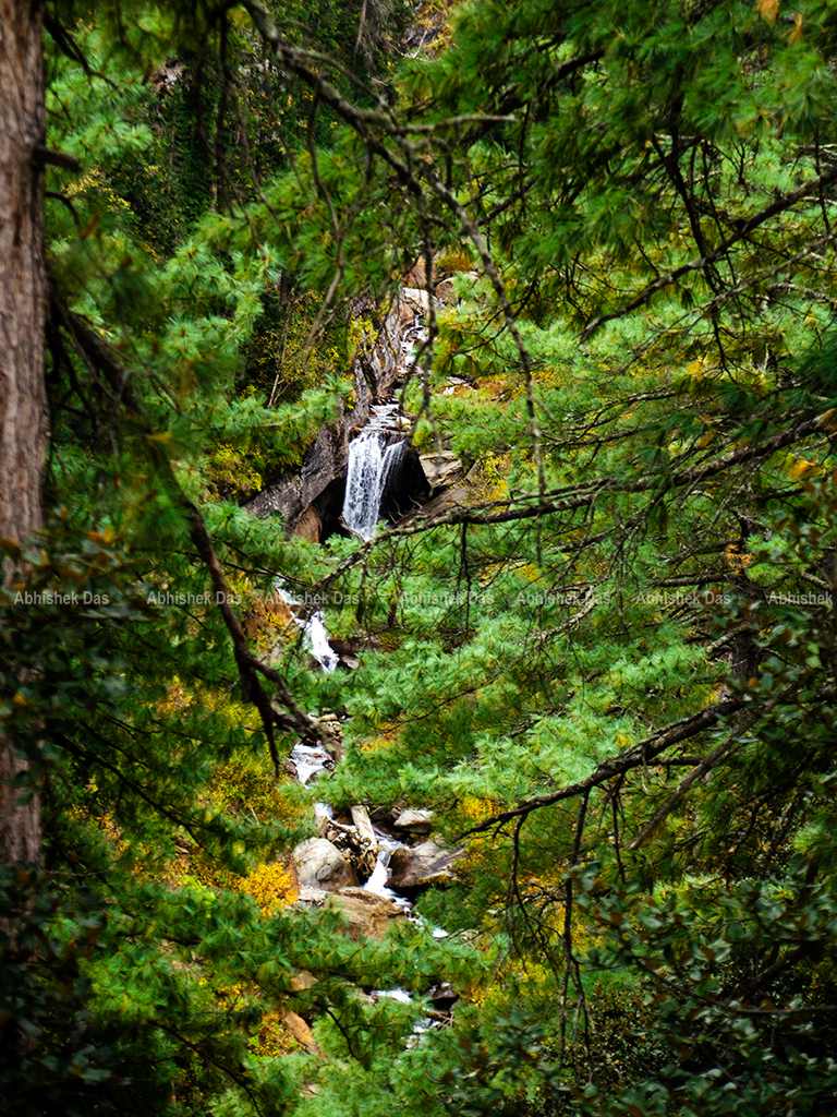
It is a high moment for many trekkers to climb the top of the towering Pabbar waterfalls to get at the snout. We crossed almost five other alpine lakes that took about two hours to get to the final Chandranahan lake. The turns are arduous when you need to traverse loose boulders and muddy terrain that you trek most of this journey. We spent time near the lake, witnessing the sights of the setting before heading back to the steep descent to Litham.
Time: 6-7 hours
Altitude: 14, 000 ft
Distance: 8 km
Trek type: Difficult
Day 05: Litham to Dhunda
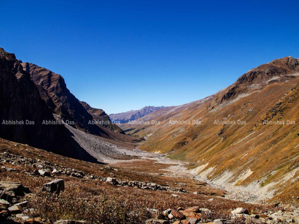
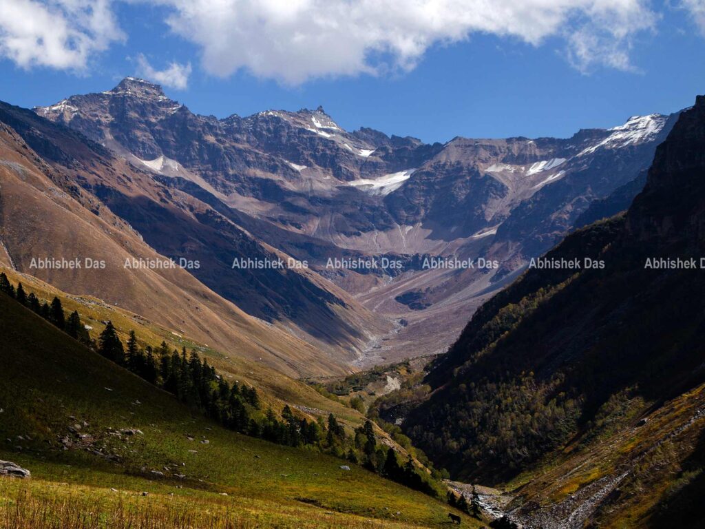
Another refreshing morning in the meadows of Pabbar valley. We packed our backpacks after relishing breakfast. As of today, the trail will leave the green grasslands of Litham and loom over a monochrome setting of grey and white. It becomes extraordinary when the Pabbar River is no longer a gently descending stream.
We crossed the virulent stream and continued to a sharper ascent until the trail got into a U shaped gorge valley to get the first view of the Buran Ghati. The most challenging part of the trek is to reach the top of the ridge following the shepherd trail. The beauty of an alpine mountain zone, Dhunda, can be enjoyed after the thrilling climb of around two hours.
There is a clear view of Buran Ghati that takes us to a moment of the splendour of the Pass and the upcoming thrill. We enjoyed the dinner with the sunset as the temperature gradually dipped. Our team leader asked us to take as much rest as possible for the next day.
Time: 6-7 hours
Altitude: 13,400 ft
Distance: 8 km
Trek type: Moderate
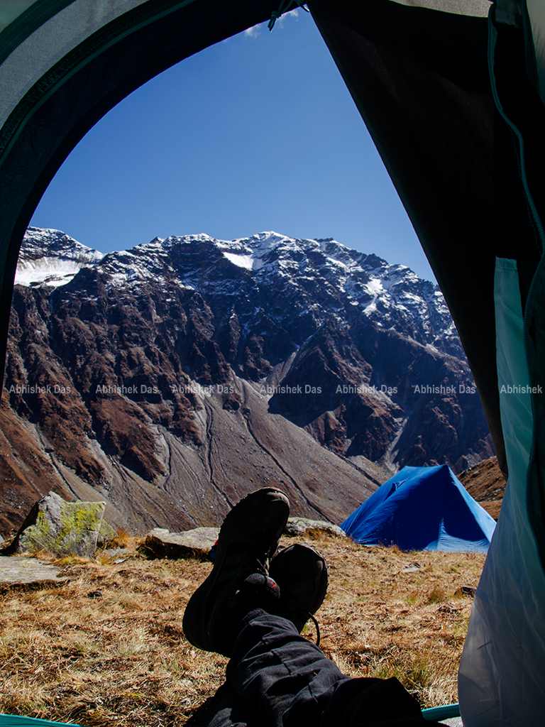
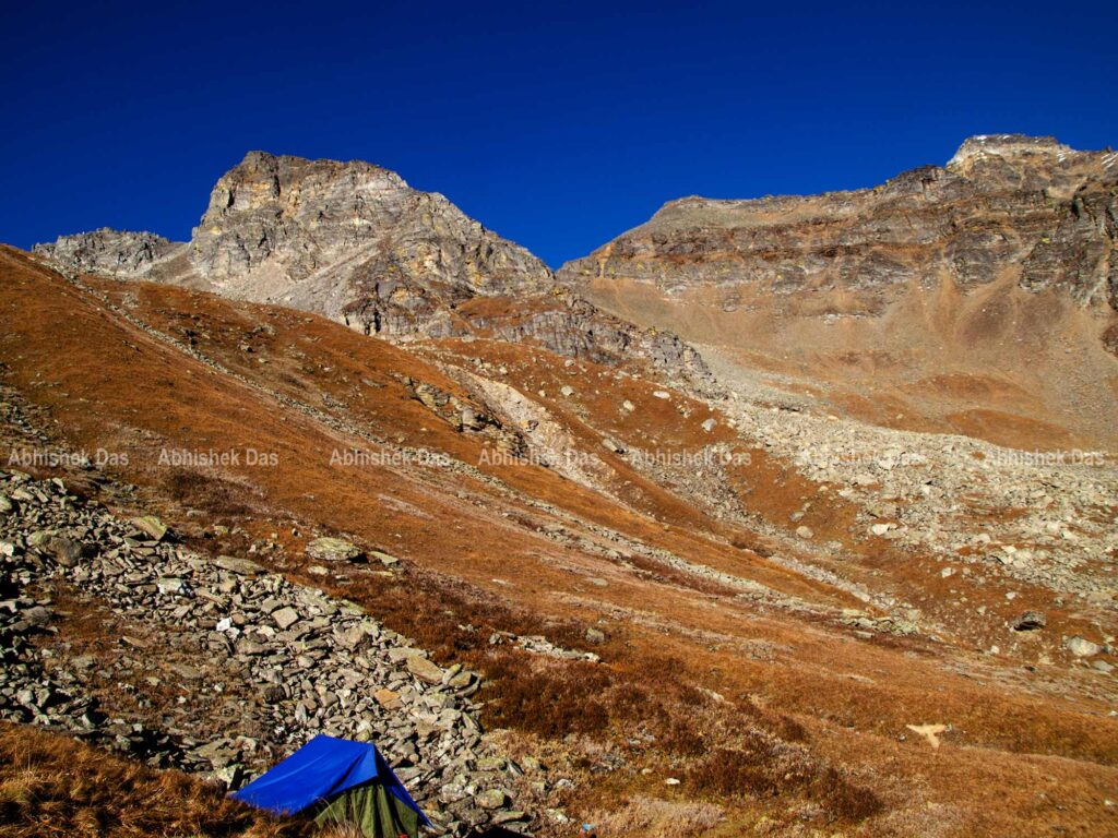
Day 06: Dhunda to Manirang via Buran Ghati Pass
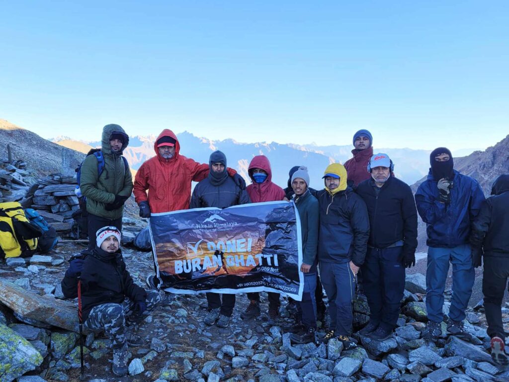
The campsite of Dhunda offers you the beauty of an alpine mountain zone among the best view with snow-capped mountains on all sides. It was already dark around, we grabbed our head torches to prepare ourselves for the pass. Our target was to reach the summit before the break of sunlight. We folded our tents and grasped our backpacks at 2 am in the night.
The moon had already disappeared under the twinkling stars. We ascended the ridge and hopped over boulders for about three hours till the base of the pass at 15,000 feet. We encouraged each other along the trail for a successful summit and captured the memories of being a part of the celebration with team members. After a thrilling climb with the sun on the horizon, it was time to descend.
A narrow ledge with sharp steep on the left side was risky and took about 2 hours to get to the end. Soon we started to lose altitude, and it took us down a ridge with junipers and crested shrubs. Another hour to get to a stream that needs to be leapt over and stopped for lunch. The trail is remarkable for the variety in vegetation and diversity, is full of surprising changes in scenery that make it an absolute delight.
As far as the eyes can see is a lush green valley- beyond a vast range of mountains the first farmer’s hut appear at Manirang. Hike in Himalaya and its associates had already pitched the tent for the night.
Time: 8-9 hours
Altitude: via 15,000 ft to 9,000 feet
Distance: 9 km
Trek type: Difficult
Day 07: Manirang to Barua Village
We celebrated our last night of the trek with a bonfire at night full of glittering stars. Surrounding the fire, we recalled all the beauties and difficulties we experienced during the whole expedition. The endearing folk songs from the locals made it memorable in the meadows of Manirang.
The morning was waiting with a big surprise for us, the weather becoming bad as a huge black cloud started to surround us. The pass we crossed earlier, was covered with snow now, and hence we decided to move early and as quickly as possible to reach Barua village. The miracle of trail with variant nature and ardent pasture were carpeting the pathways.
We stick to the broader trail that descends rapidly through the high altitude pines to a large gushing stream. After two and half hours of walking, the first apple orchards and signs of society awaited us. It was a long descent through the village trail that came alive as the simple villagers were happy to see us.
It pops out onto the road bridge over the Barua Khud in half an hour from the heart of the village. Hike in Himalaya had already arranged transport to drop us at the big Hydel Project of Karcham.
Time: 4-5 hours
Altitude: 6,700 feet
Distance: 6 km
Trek type: Easy
How to reach Janglik village?
If you plan to use local transport to reach the Jhanklik village from Shimla, you move to Lakkar Bazar for buses to depart to Rohru. From Rohru you have to take another bus for Tangnu that leaves at 8 am, 1 pm and 4 pm. Tangnu is a small village which is 3 km away from Jhanklik village. You have to trek 45 minutes of descends through the broken iron bridge to cross the river with 30 mins of a steep hike to the Jhanklik village.
Contact:
Parvinder: 7018791443
Sanjay: 9816722069
Ranjeet: 7018103286
Special Thanks:
Team Hike in Himalaya- For sponsor
Ashish Negi- Team Leader
Parvinder- Founder Hike in Himalaya
Team Members:
Sunil Kumar Tomar
Anand Singh
Sunil Yadav
Biswajeet
Indradeep
Aman
Manish G
Rohit
Riya


Planning to go on the trek after taking rest from service, being free of anxiety.
Feels like ages have passed but in reality, it has been only 3 months. A part of me wants go back. The other wants go new places. But no matter where i go, buran ghati will always have a special place in my heart, because this trek marks the dawn of a new era for us as a trekking group.
It was a great pleasure to have such wonderful teammates, always supportive.
It was nice to have you Abhishek sir….hope we meet again some where else…team Hikeinhimaliya wish u Gud luck for upcoming Blogs… Parvinder (Shimla Himachal)
Thank you. It was delightful to be a part of a group guided by Hike in Himalaya. The arrangements for the trek and helpful associates are always memorable. I hope, we may meet soon on some other route of Himachal.